

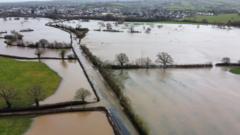
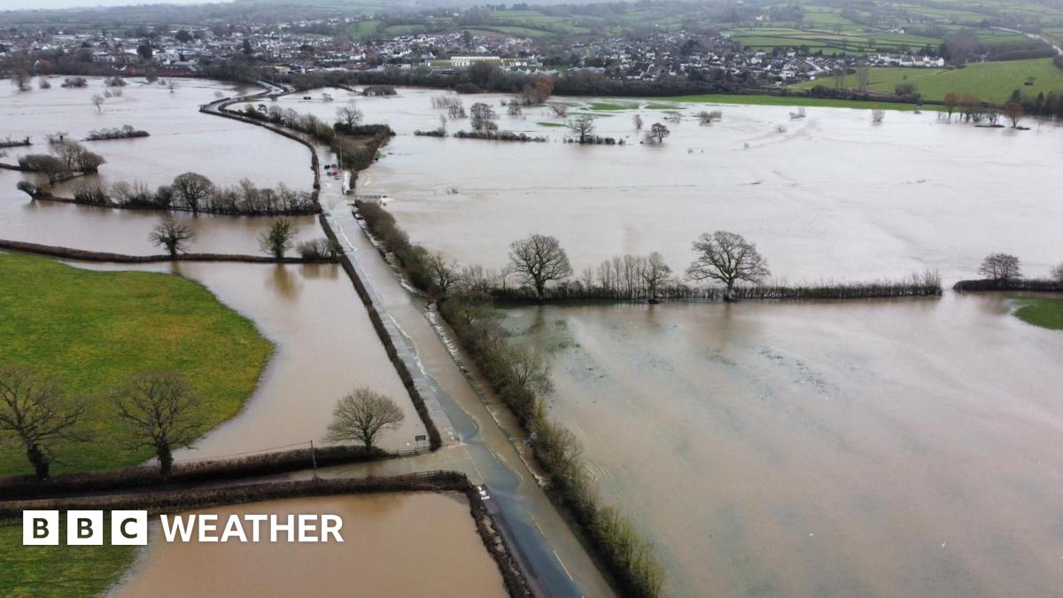
The Met Office has issued a yellow rain warning for south-west England, valid between 18:00 Monday and 21:00 Tuesday with 10-20mm falling widely and up to 50mm over Dartmoor. The ground remains saturated and more than sixty flood warnings are in force even before this next batch of wet weather arrives, so further flooding is expected.
There are also yellow warnings for snow in north-east Scotland for Tuesday and Wednesday with 10-20cm forecast above 200m elevation and several centimetres at lower elevations, bringing the threat of some localised disruption.
Beyond the next few days of weather, the same blocking area of high pressure remains over Scandinavia for another two weeks. So it is likely that weather patterns will stay stuck in a rut with nothing changing substantially until mid-February.
That means the threat of more heavy rain with localised flooding in southern England and eastern Scotland where hill snow is also likely at times. We’ll probably see more of a change in our weather patterns during the second half of February.
The great irony about all this rain is that technically a hosepipe ban remains in force for parts of southern England – that means you shouldn’t go out watering your grass or plants, not that they’ll be needing any extra water right now.